Saturday, November 13, 2010

Mount Washington – New Hampshire

Although we are posting this blog entry the second week of November, we were actually in New Hampshire the first week of September.

P1050184

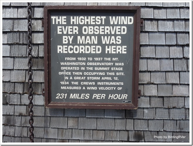
The sign says it all: 231 MILES PER HOUR

As we well know non-retired RVers and campers really look forward to the three big three-day weekends of Memorial Day, 4th of July and Labor Day. As we used to do, many make their plans and reservations months in advance. These weekends are problematic for fulltime RVers, because we never know were we will be months in advance to make reservations. That coupled with the increase in traffic and crowds; most fulltime RV we know are just happy to find a place to sit out the holiday weekend. We found an older, smaller campground with at least twice as many tent sites as RV sites. Near the small New Hampshire town of Gorham in the White Mountains.

IMG_7066

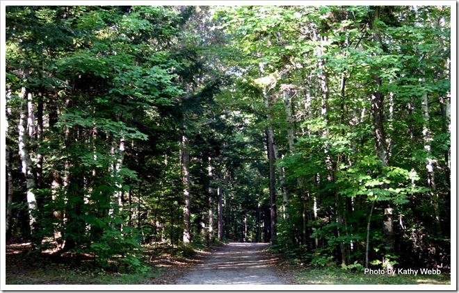
One of the  many hiking trails at the campground.

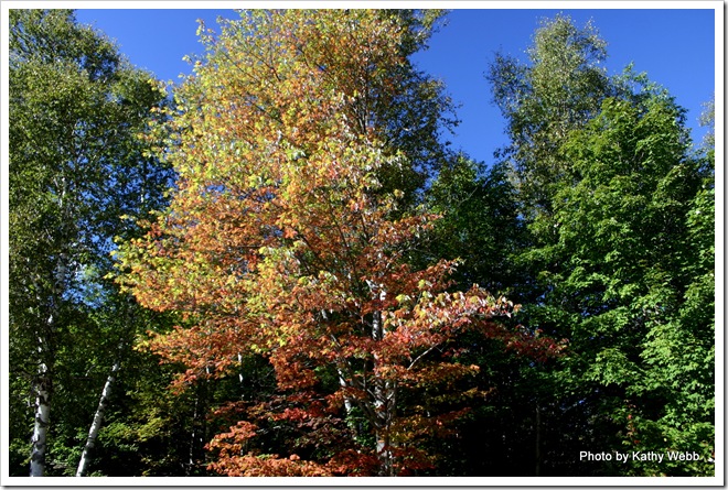
This particular campground had miles of  loop trails and roads for the three of us to hike on everyday and the tress were beginning to turn into there fall colors.

IMG_7065

Sun beaming through colorful leaves

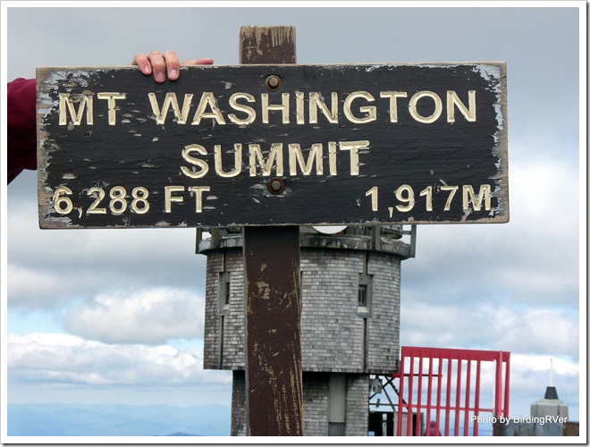
Probably the most famous spot in the White Mountains and perhaps all of New Hampshire is Mount Washington. To quote Wikipedia “Mount Washington is the highest peak in the Northeastern United States at 6,288 ft (1,917 m). It is famous for its dangerously erratic weather and long held the record for the highest wind gust directly measured at the Earth's surface, 231 mph, on the afternoon of April 12, 1934.” Mount Washington has a long history of  tourist visitation since the Crawford Path, the oldest mountain hiking trail in the United States, was laid out in 1819 as a bridle path. Mount Washington was developed into one of the first tourist destinations in the nation, with construction of more bridle paths and two hotels in 1852 and 1853.”

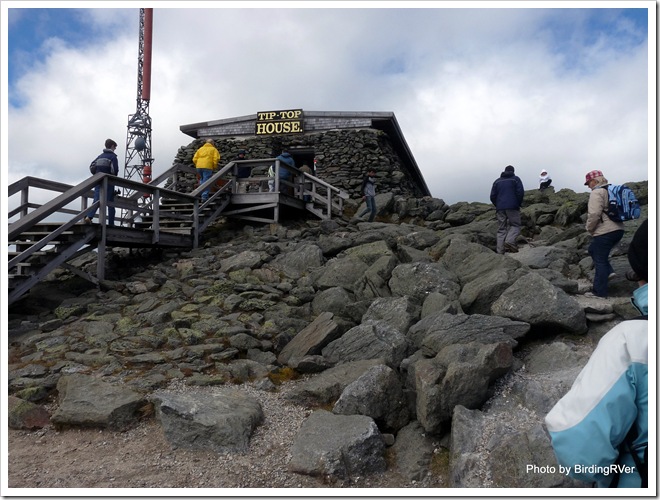
Tip-Top House was built in 1853

Tip-Top House was built in 1853

In 1861 a coach road was added and in 1869 the Mount Washington Cog Railway added. Both of these are still in operation, but now the coach Road is known as the Mount Washington Auto Road. However, the Mount Washington Auto Road isn’t much wider than it was when  first built and they have many restrictions on the size of vehicles on the Auto Road. Our truck is too long, too wide and too heavy to  use the road. We took their Guided Van Tour and once we got on the mountain and saw how narrow the road was I was VERY GLAD we did!

IMG_7074

That is the beginning of the barely 2 lane road up the mountain.

IMG_7079

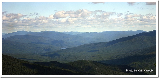
It was so clear we could see forever looking north.

IMG_7085

Almost to the tippity top!

IMG_7091

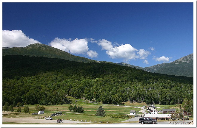
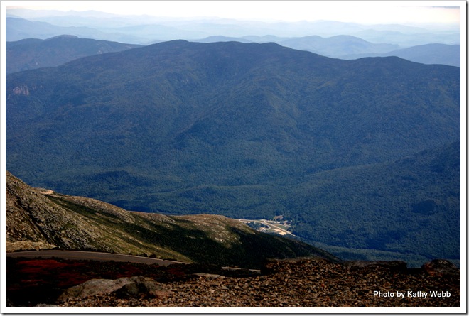
Looking down to the place we started at!

It was in the 70s when we left the valley at the start of the tour. When we arrived at the summit the was blowing at 37 mph, the temperature was 34 F and the Wind Chill was 16 F! Yet we saw a few people getting out of the vans and cars wearing flip flops and shorts!! What were they thinking!

P1050199

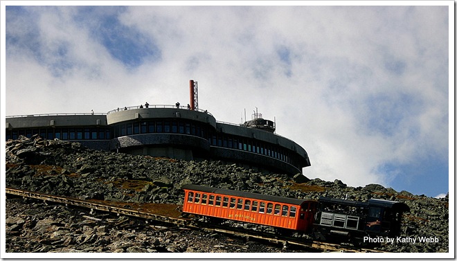
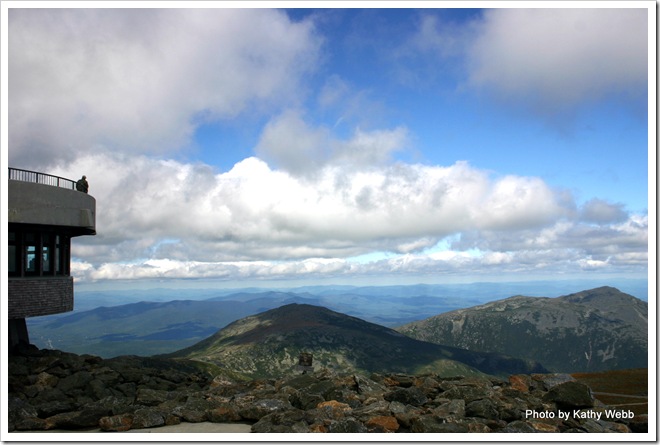
Looking north with the railroad in the foreground

Looking north with the railroad in the foreground

IMG_7096

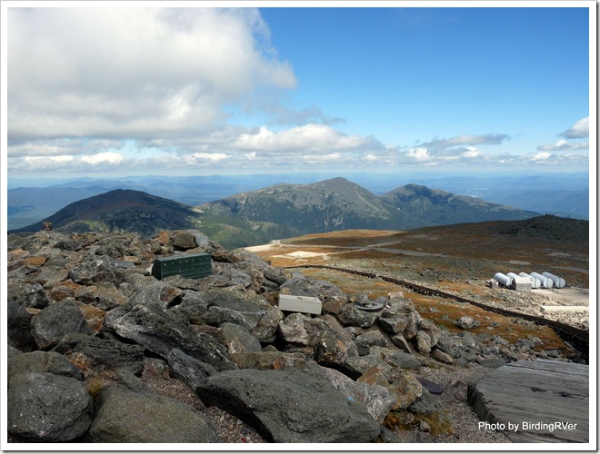
Looking west in the howling wind

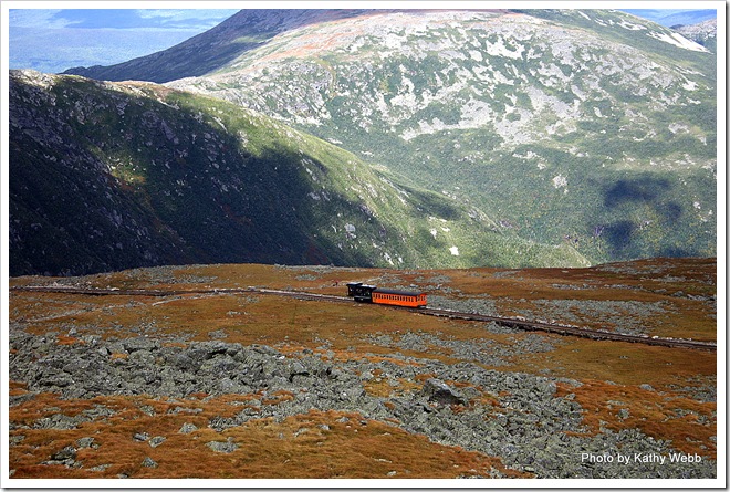
Down the fall colored bracken mountain it goes

Down the fall colored bracken mountain it goes

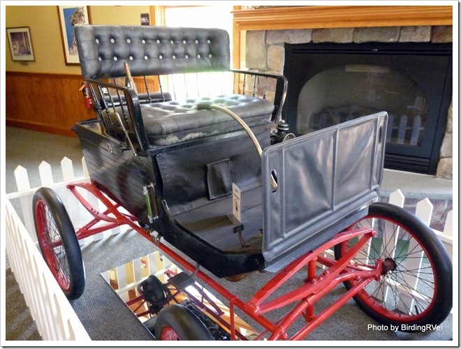
The original Stanley Steamer that F.O. Stanley and Wife used to drive to the top on August 31, 1899

The original Stanley Steamer that F.O. Stanley and his  Wife used to drive to the top on August 31, 1899

IMG_7104

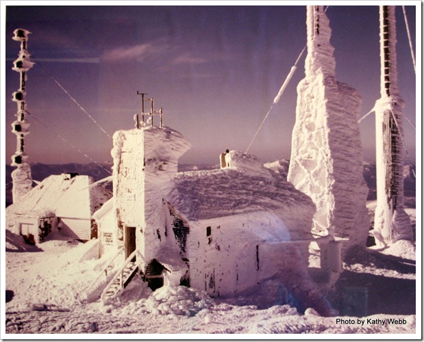
This photo on the wall of the museum shows why you probably don’t want to visit in the winter.

Mount Washington slideshow
Friday, November 12, 2010

Return to Maine

Although we are posting this blog entry the second week of November, we actually returned to Maine the third week of August.
IMG_5111
Penobscot River going through downtown Bangor, Maine.
After a wonderful six weeks in the Canadian Maritimes  we returned to Maine and the Pumpkin Patch RV Resort. We had stayed there over the 4th of July weekend prior to going into Canada and returned because it is a very nice RV Park with very friendly people. Somehow we forgot to get any pictures!
Surprisingly, when we returned to Maine it was HOT! The temperatures were in the 80s and 90s. So, it seemed like a perfect time to head to the ocean. Acadia National Park is about a 50 mile drive from Bangor. We packed a picnic lunch, Raider and returned to the National Park. My, how things had changed since our time there in June. We had noticed that the whole Bar Harbor and Acadia Park area was becoming more and  more crowded each day as June went along. In August the place was PACKED, even at mid-week. The trailheads and beach access parking lots were so crowded with cars that the park service just had people park in the right lane of the road.
Fortunately, for us the one parking area that wasn’t full was near a great picnic spot we had found near Otter Cover.
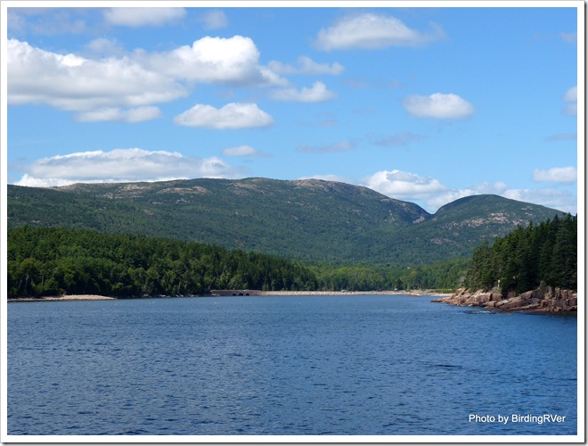
IMG_7041
View from our picnic spot at Otter Cove
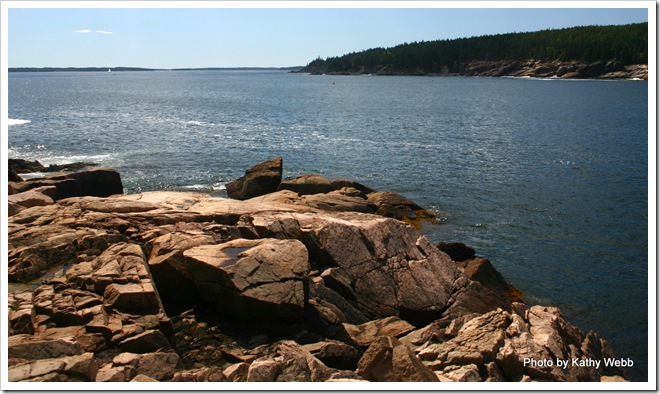
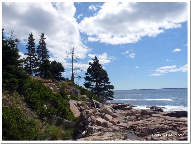
More pictures around Otter Cove:
P1050160
P1050155
P1050156
P1050157
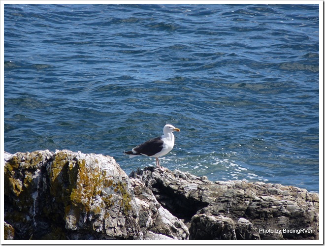
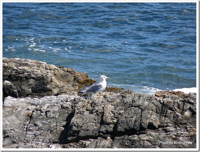
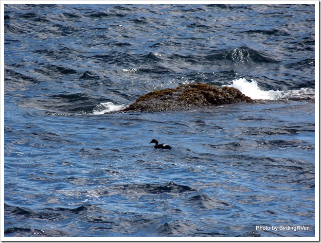
Just to prove that we do still watch birds, I thought I would include a few bird pictures:
P1050175 Great Black-backed Gull
P1050176 Herring Gull
P1050170Black Guillemot
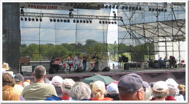
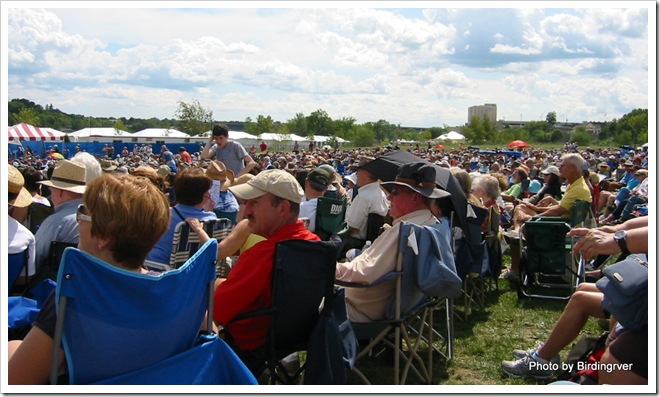
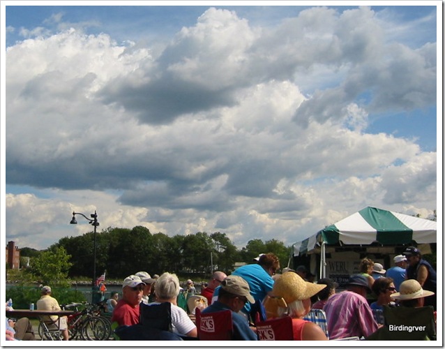
While we were staying in Bangor they had the annual “The American Folk Festival on the Bangor Waterfront”. This is a very popular two day event held in downtown Bangor along the Penobscot River.
IMG_5101
Ceilidh Group from Cape Breton Island at the Bangor American Folk Festival
IMG_5103
The crowd enjoying music from all over the world
IMG_5107
The Festival is held on the Penobscot River, Bangor, Maine
Retune to Maine slideshow:

Friday, November 5, 2010

Hopewell Rocks, New Brunswick

Although we are posting this blog entry the first week of November, we were actually at Hopewell Rocks the second week of August.

P1050101

Looking down on Hopewell Rocks in New Brunswick

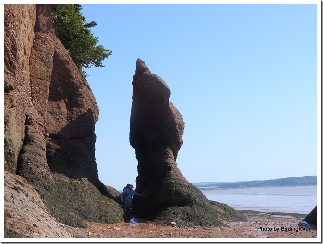
After leaving Prince Edward Island and returning to New Brunswick we stopped for a few days to visit Hopewell Rocks. Located on the Bay of Fundy, Hopewell Rocks is undoubtedly New Brunswick’s most famous landmark. At Hopewell Rocks the difference between high and low tide is 35 to 46 feet.

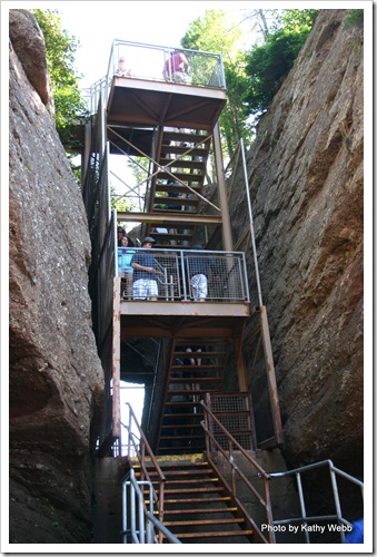
IMG_7021 Steep stairs down to the shore

P1050103

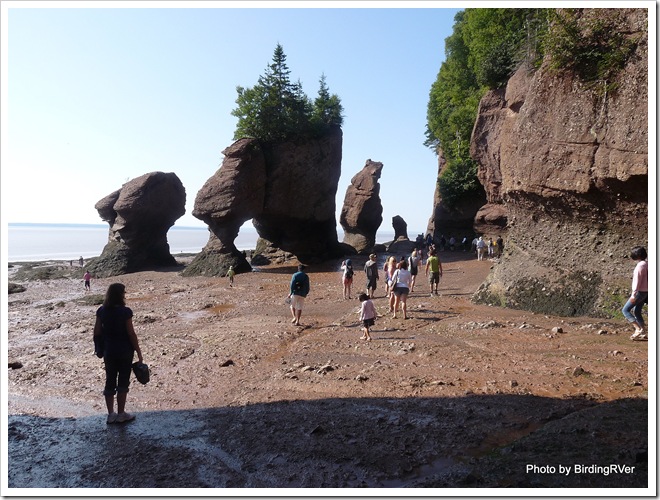
Hopewell Rocks at low tide.

P1050116

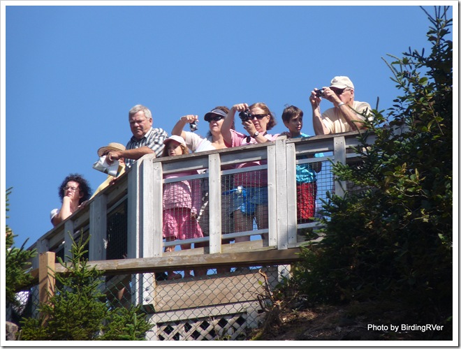
Looking up at the first Overlook

IMG_7033

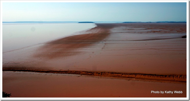
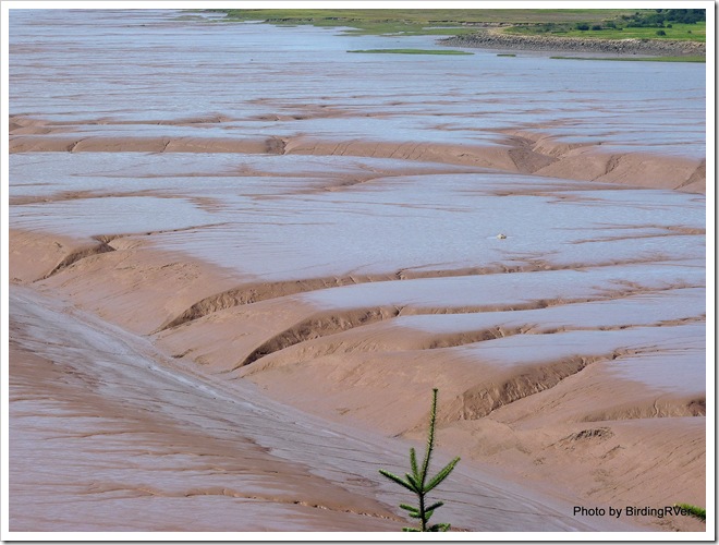
When the tide goes out, it really goes out here!

P1050115

At High Tide the water reaches to the top of this spire.

IMG_7023

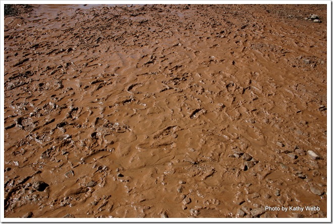
Bay of Fundy mud.

P1050151

They have a lot of Milk Chocolate mud!

Hopewell Rocks slideshow